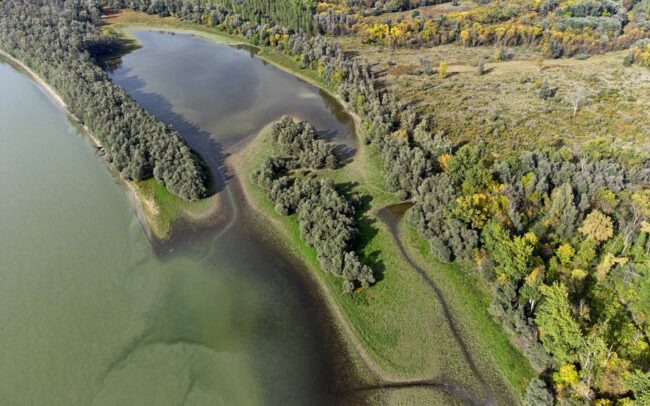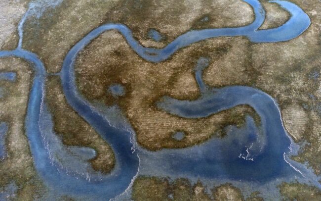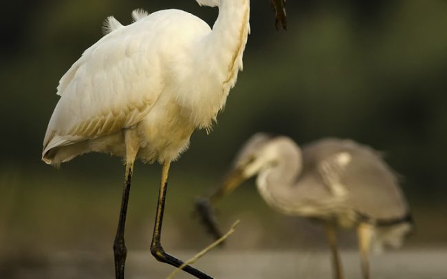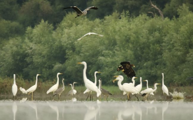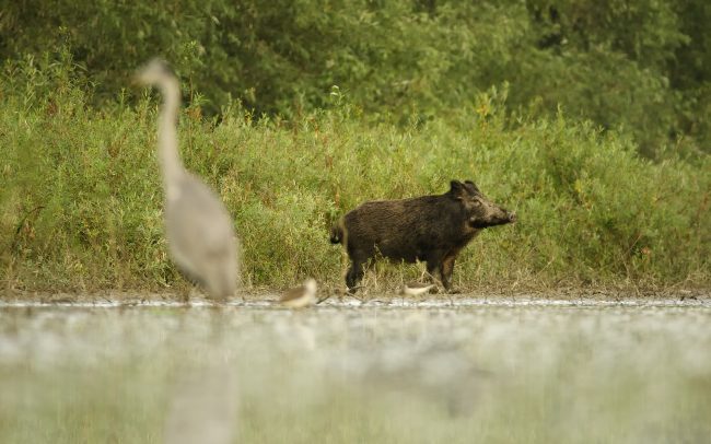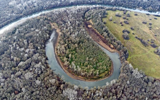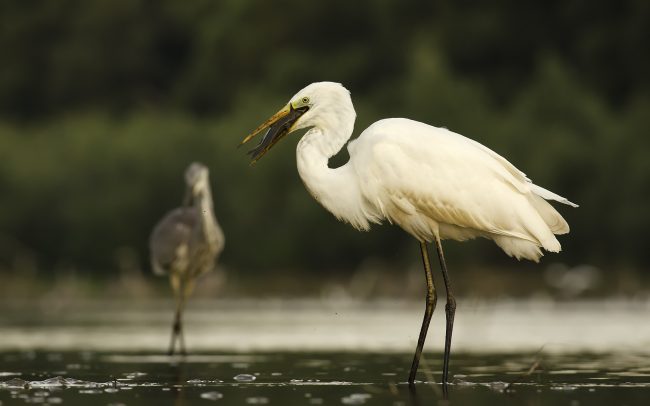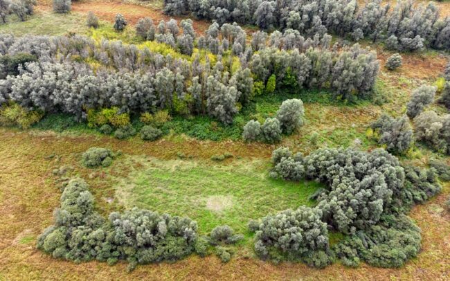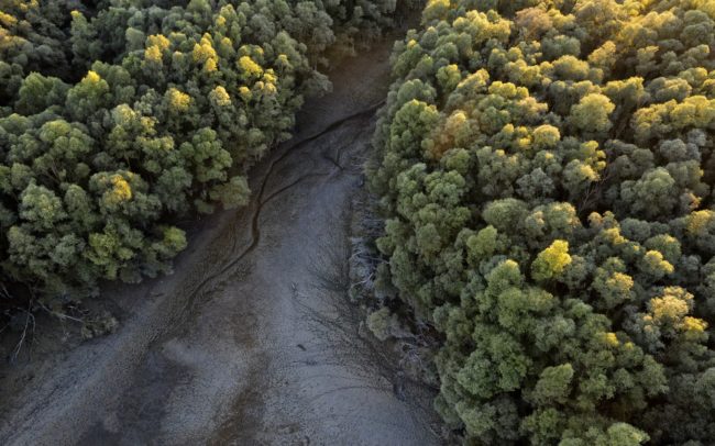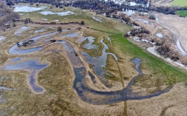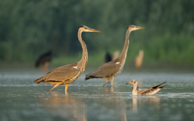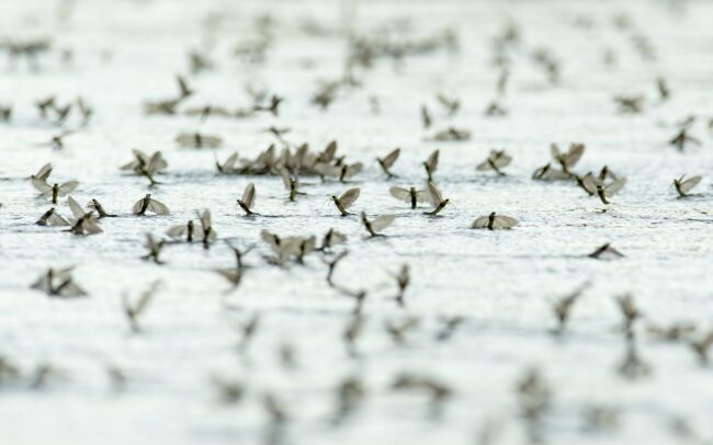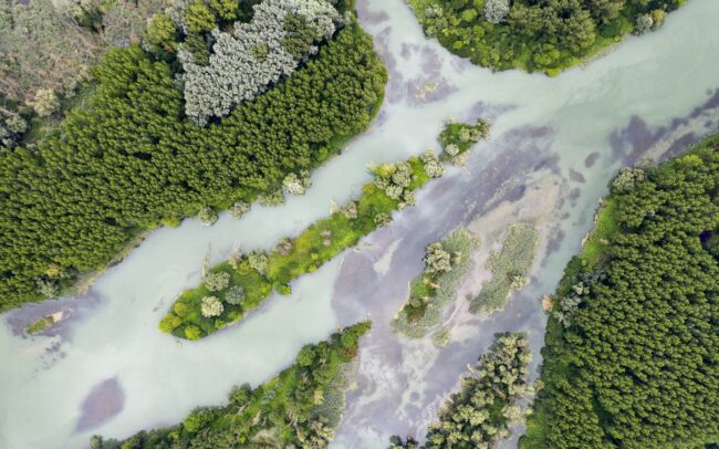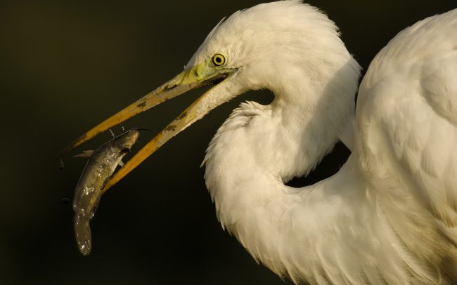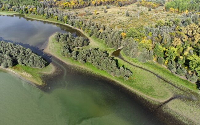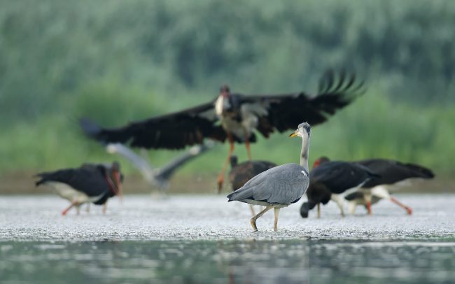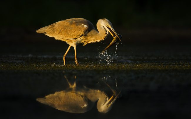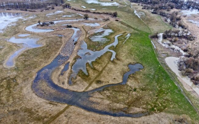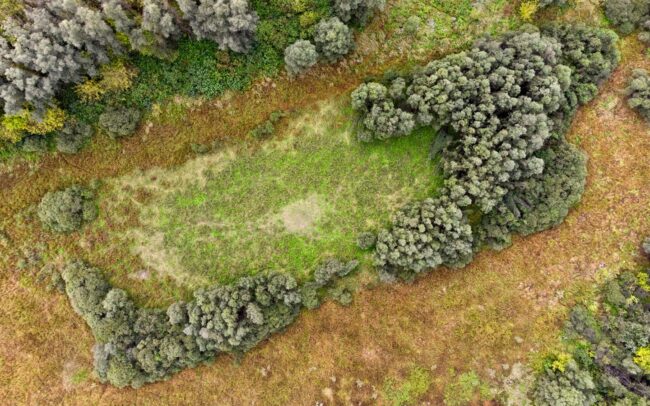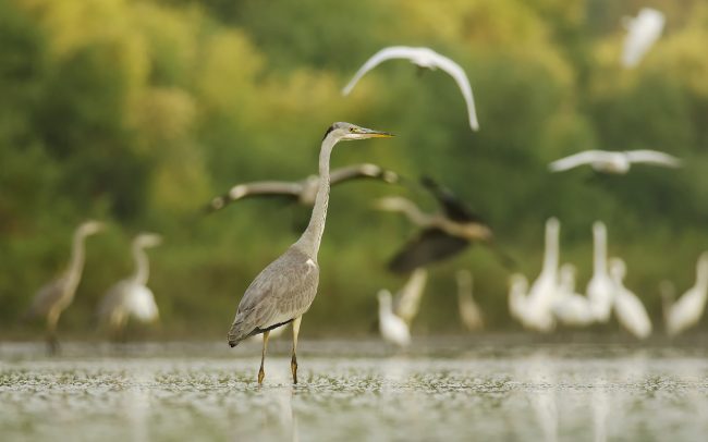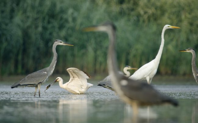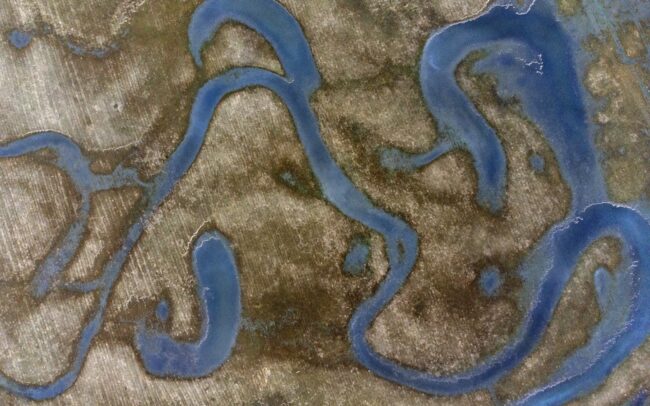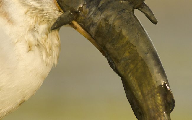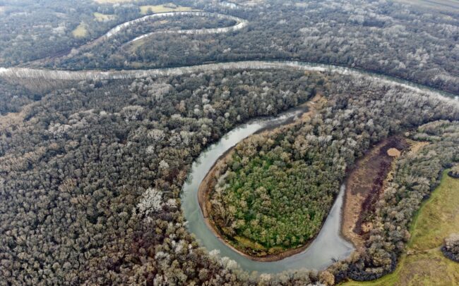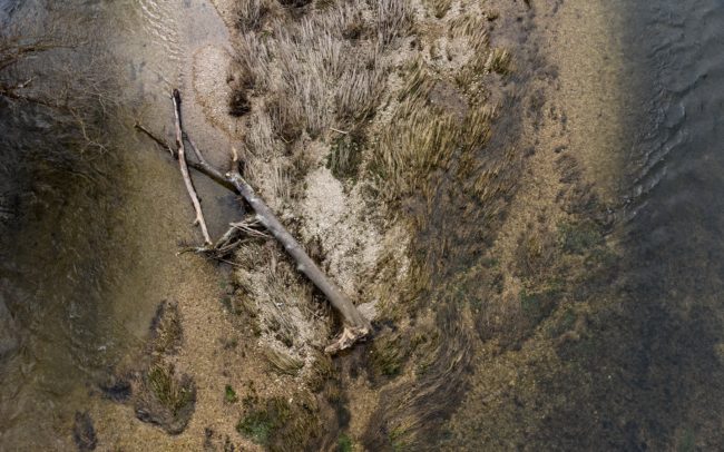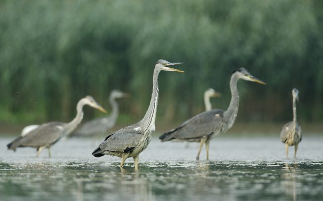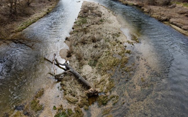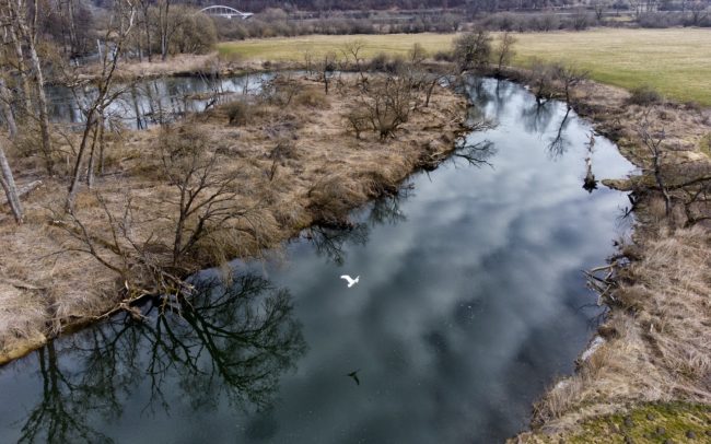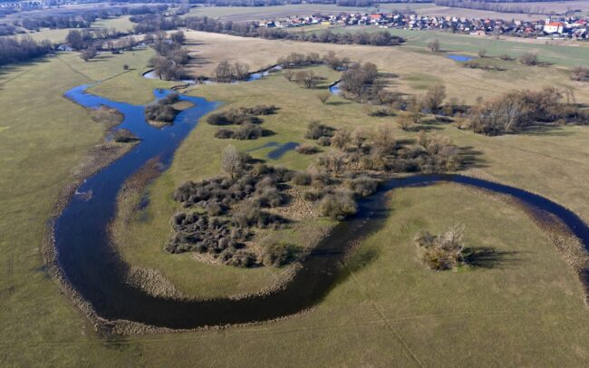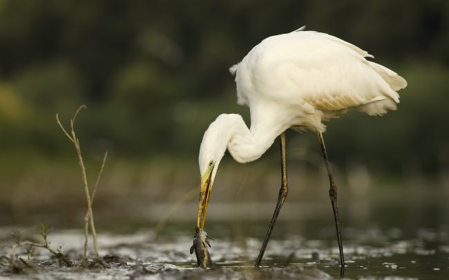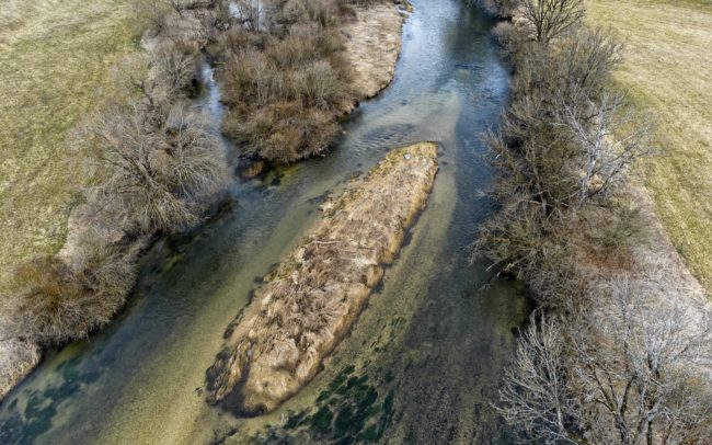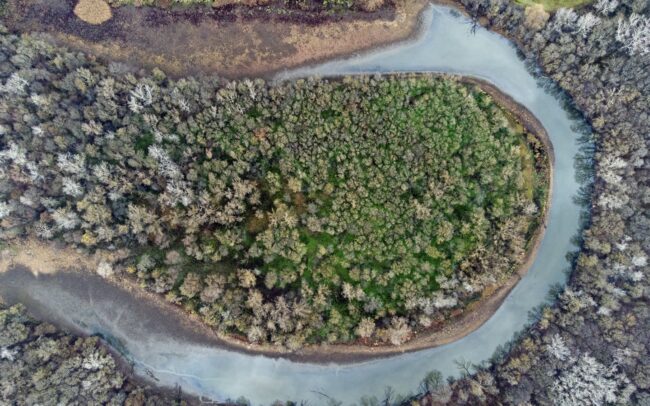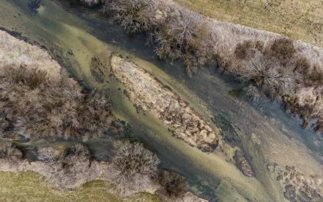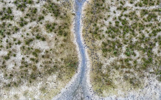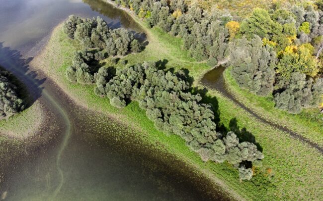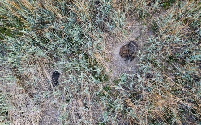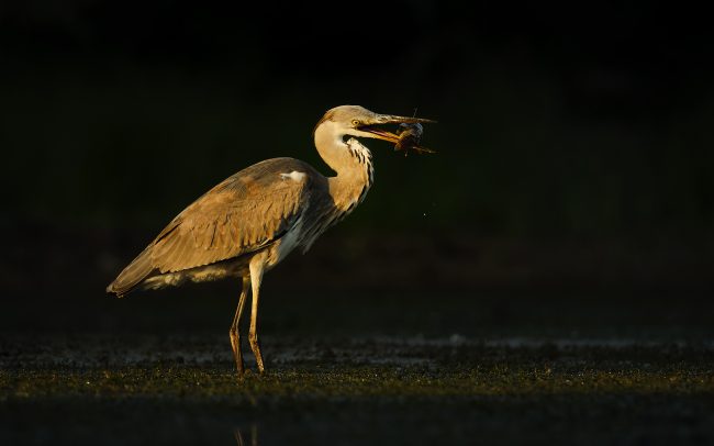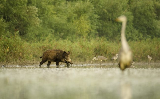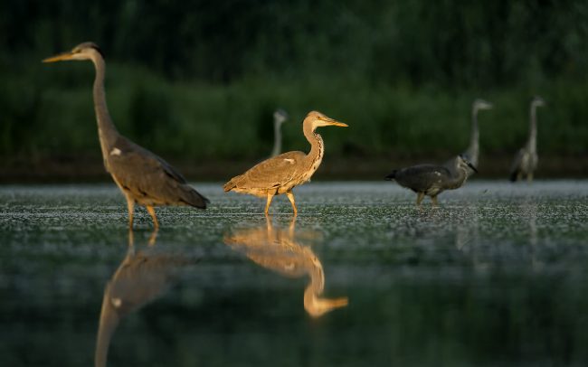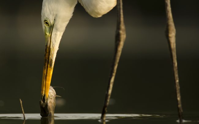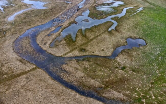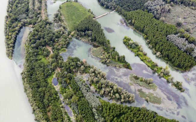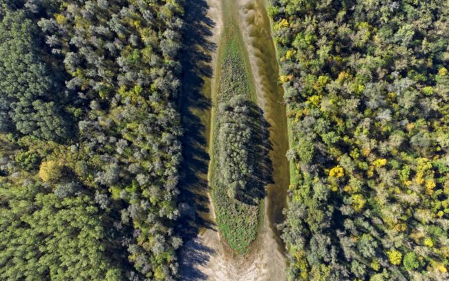
Named RS104 by Danubeparks WILDIsland, this river island is located in the Gornje Podunavlje Nature Reserve in Serbia. Sandwiched between two of its much larger island brothers, despite its barely half a hectare, it is treasured by its untouched nature. The effect of our handprint increases the value of even such tiny places along the Danube.
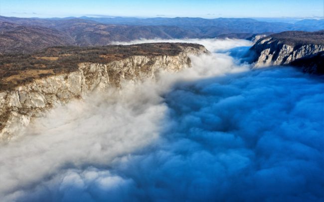
The Danube between Serbia and Romania. Here, on the Serbian side, the Djerdap National Park stretches along its coast, and opposite the Romanian Iron Gate Natural Park. This place itself is more commonly known as Iron Gate or Kazan Gorge. At the junction of the two countries, in the longest gorge in Europe, the river, which had swelled to a huge extent, narrows. On the first morning, I managed to capture the river, but on the second, the fog overcame my calculations. However, it created a completely new situation. This is how the place became worthy of its name. There, somewhere under the billowing smoke-like fog, the wild water swirls and twists mysteriously, like in a cauldron (kazan means in serbian language cauldron). The steep limestone rock walls narrow it to 150 meters, but in exchange for this, the water is 82 meters deep - this is the deepest river in the world.
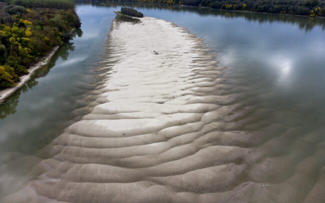
An island in the Danube, on the border between Serbia and Croatia. It was given the number HR023 by Danubeparks - Network of Protected Areas. And although the reef is only a tiny bit of dry land, it is valuable for waterfowl. Not that the concept of countries or numbers has any significance to them. But the sandbed protected by water provides them a peaceful nesting place. Due to regulations, rivers are able to build fewer and fewer islands, so such reefs are increasingly in short supply.
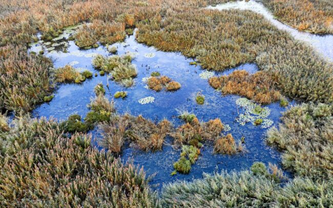
In early autumn, the floodplain is persistently rampant. The September dawn reveals a rare sight in one of the last marshes of the Slovak section of the Danube. A group of two hundred pygmy cormorants wakes up on its nightly resting place. Danube Floodplains Protected Landscape Area, Great Rye Island, Slovakia
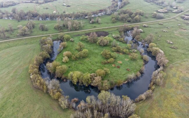
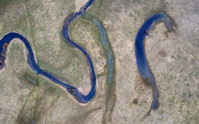
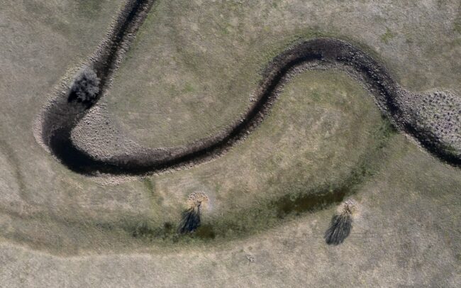
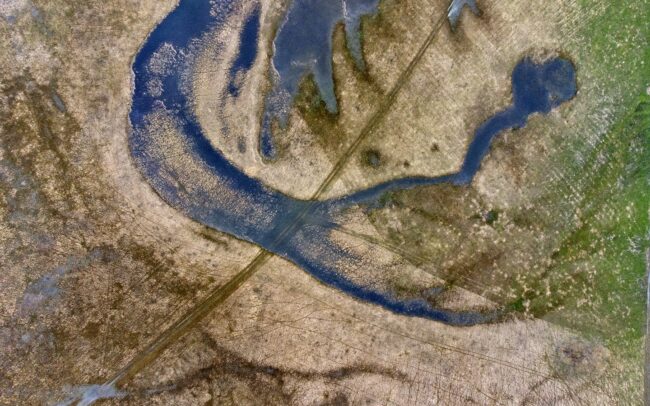
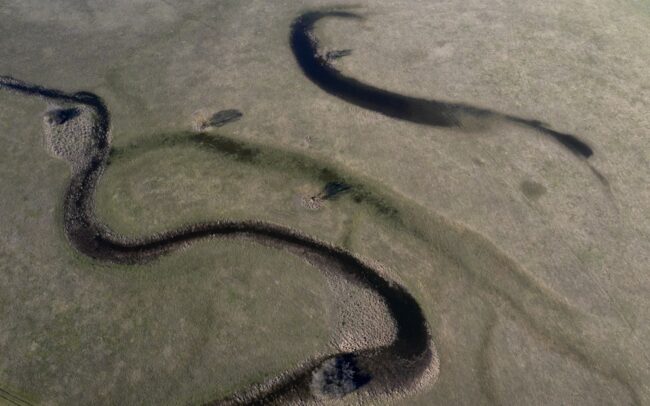
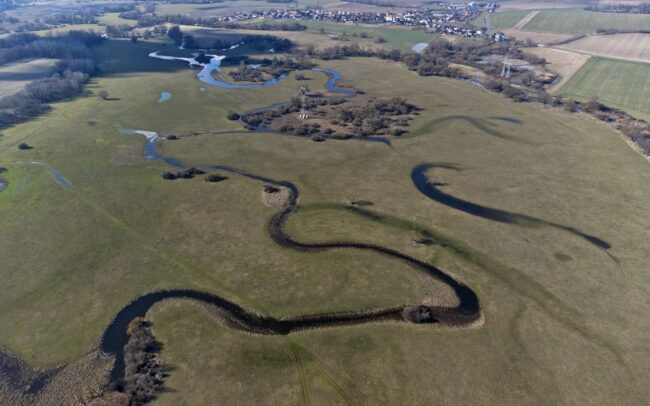
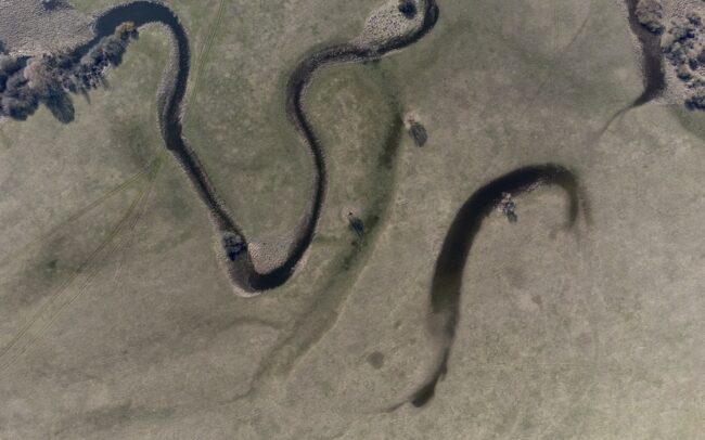
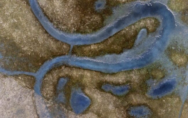
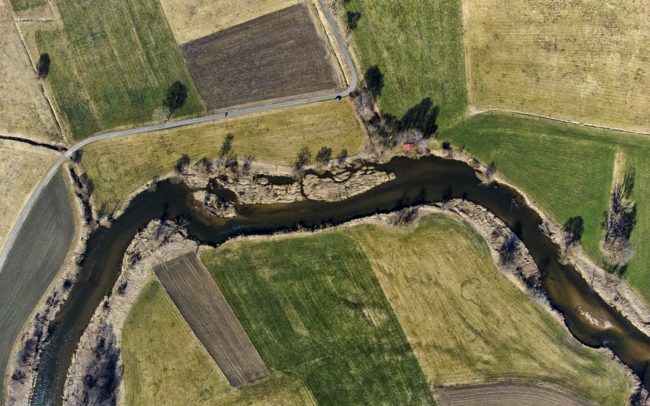
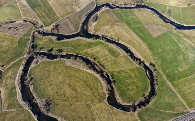
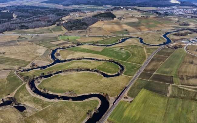
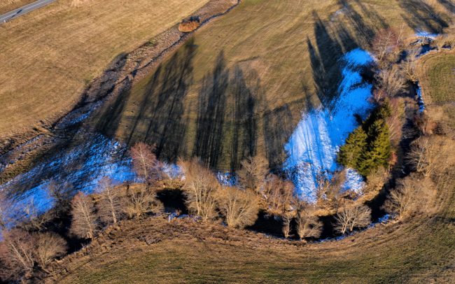
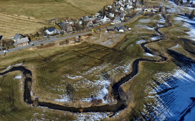
The Sajó is one of the important rivers of the Danube watershed. Photos shows its naturally or artificially cut bends near Kazincbarcika in Hungary. Although there were attempts to control the river in the past, a significant part of it remained only a plan. Even if regulatory constructions were built, some of them were destroyed by the river. Thanks to this, river is only partially regulated, and in many places it can still build its bends in its own way to this day, preserving its wild nature. However, even Sajó could not avoid a large amount of pollution. It was once damaged by paper factories in Slovakia, and by heavy industry in Hungary. But the quality of its water - apart from the disaster that happened in 2022 at Nižná Slaná - has improved a lot in recent decades. It flows for 223 km through Slovakia and Hungary, then meets the Tisza river near Tiszaújváros.
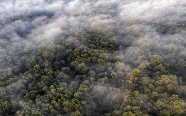
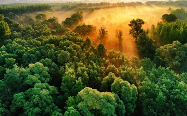
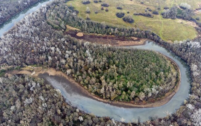
October over the wilderness I can just hardly describe the mystical atmosphere of the untouched parts of the alluvial area at dawn. However, I enjoy the time spent there even more. I like to get lost in the forests of the Danube, or get a wider view of these places from above. Danube Floodplains Protected Landscape Area, Great Rye Island, Slovakia.
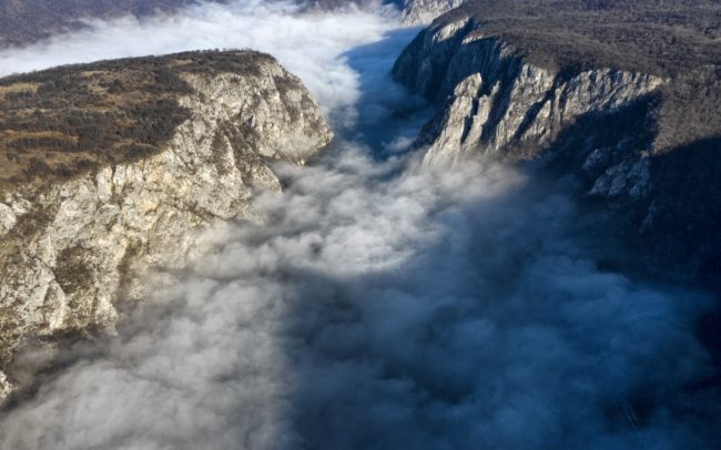
The Danube between Serbia and Romania. Here, on the Serbian side, the Djerdap National Park stretches along its coast, and opposite the Romanian Iron Gate Natural Park. This place itself is more commonly known as Iron Gate or Kazan Gorge. At the junction of the two countries, in the longest gorge in Europe, the river, which had swelled to a huge extent, narrows. On the first morning, I managed to capture the river, but on the second, the fog overcame my calculations. However, it created a completely new situation. This is how the place became worthy of its name. There, somewhere under the billowing smoke-like fog, the wild water swirls and twists mysteriously, like in a cauldron (kazan means in serbian language cauldron). The steep limestone rock walls narrow it to 150 meters, but in exchange for this, the water is 82 meters deep - this is the deepest river in the world.
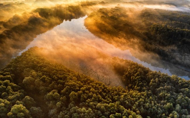
October over the wilderness I can just hardly describe the mystical atmosphere of the untouched parts of the alluvial area at dawn. However, I enjoy the time spent there even more. I like to get lost in the forests of the Danube, or get a wider view of these places from above. Danube Floodplains Protected Landscape Area, Great Rye Island, Slovakia.
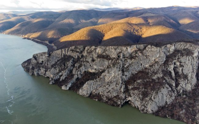
The Danube between Serbia and Romania. Here, on the Serbian side, the Djerdap National Park stretches along its coast, and opposite the Romanian Iron Gate Natural Park. This place itself is more commonly known as Iron Gate or Kazan Gorge. At the junction of the two countries, in the longest gorge in Europe, the river, which had swelled to a huge extent, narrows.
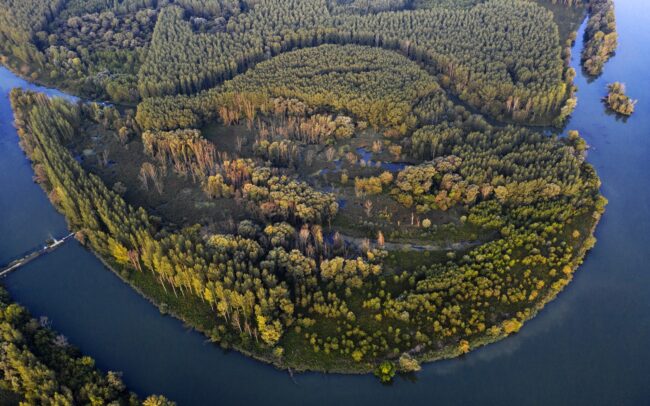
Some of our bogs and marshes can only exist because they have survived in literally isolated, hard-to-reach places. Such are the remaining islands of our tangled Danube branch system. One of their most beautiful examples is this island and swamp at the same time. But it is also a clear proof that isolation can sometimes be negative. In our region, recent events have dramatically contributed to the end of the relationship between man and nature. The island is only 2 kilometers south of the village of Baka, but the upstream channel of the Gabčíkovo hydropower plant stretches like an impassable barrier between the village and the river, so with a little exaggeration, it removed the inhabitants a world away from the floodplain. The importance of our wetlands at the European level is also shown by the fact that this island, like its companions, is included in the list of important habitats of the international DANUBEPARKS - WILDislands initiative, as the last stronghold of biodiversity in a world heavily dominated by humans.
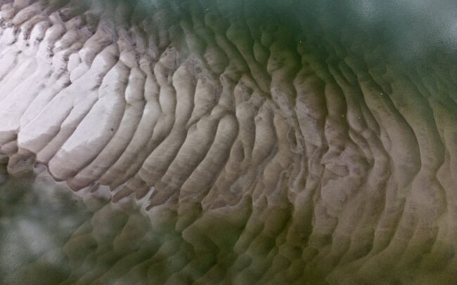
An island in the Danube, on the border between Serbia and Croatia. It was given the number HR023 by Danubeparks - Network of Protected Areas. And although the reef is only a tiny bit of dry land, it is valuable for waterfowl. Not that the concept of countries or numbers has any significance to them. But the sandbed protected by water provides them a peaceful nesting place. Due to regulations, rivers are able to build fewer and fewer islands, so such reefs are increasingly in short supply.
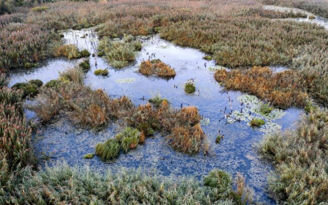
In early autumn, the floodplain is persistently rampant. The September dawn reveals a rare sight in one of the last marshes of the Slovak section of the Danube. A group of two hundred pygmy cormorants wakes up on its nightly resting place. Danube Floodplains Protected Landscape Area, Great Rye Island, Slovakia
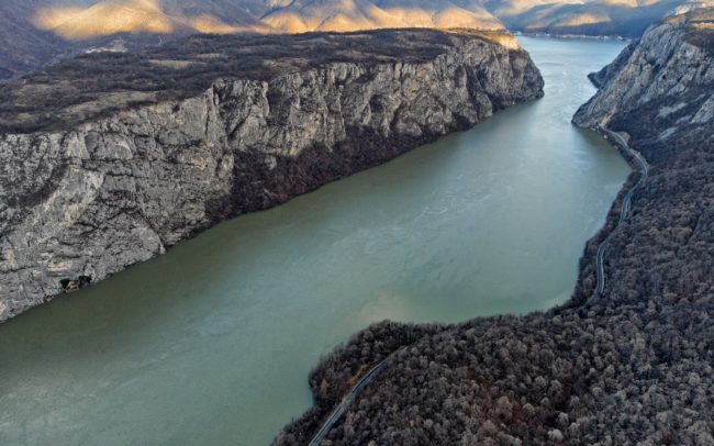
The Danube between Serbia and Romania. Here, on the Serbian side, the Djerdap National Park stretches along its coast, and opposite the Romanian Iron Gate Natural Park. This place itself is more commonly known as Iron Gate or Kazan Gorge. At the junction of the two countries, in the longest gorge in Europe, the river, which had swelled to a huge extent, narrows.

The Danube between Serbia and Romania. Here, on the Serbian side, the Djerdap National Park stretches along its coast, and opposite the Romanian Iron Gate Natural Park. This is a true wildlife paradise. Wolf, lynx, bear and even chamois live in the surrounding forests and rocks. Instead (not that I had any other choice), I photographed the magical forest and ferns of the national park.
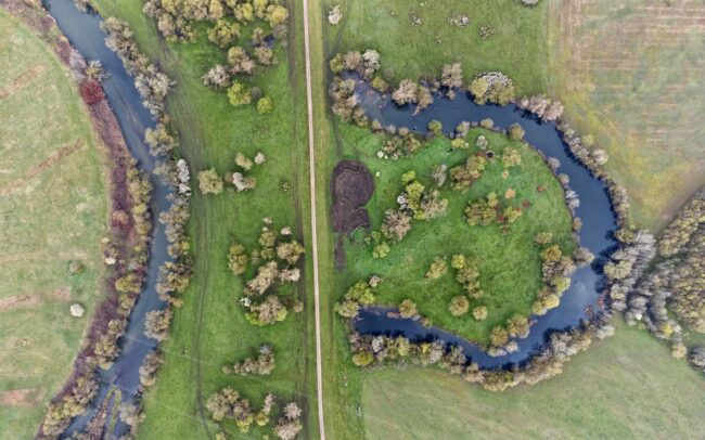
The Sajó is one of the important rivers of the Danube watershed. Photos shows its naturally or artificially cut bends near Kazincbarcika in Hungary. Although there were attempts to control the river in the past, a significant part of it remained only a plan. Even if regulatory constructions were built, some of them were destroyed by the river. Thanks to this, river is only partially regulated, and in many places it can still build its bends in its own way to this day, preserving its wild nature. However, even Sajó could not avoid a large amount of pollution. It was once damaged by paper factories in Slovakia, and by heavy industry in Hungary. But the quality of its water - apart from the disaster that happened in 2022 at Nižná Slaná - has improved a lot in recent decades. It flows for 223 km through Slovakia and Hungary, then meets the Tisza river near Tiszaújváros.
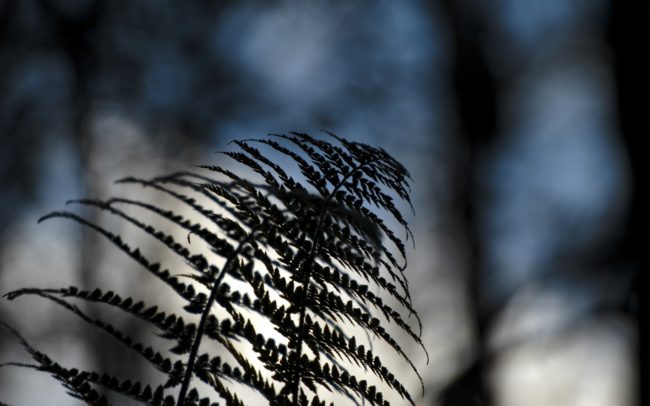
The Danube between Serbia and Romania. Here, on the Serbian side, the Djerdap National Park stretches along its coast, and opposite the Romanian Iron Gate Natural Park. This is a true wildlife paradise. Wolf, lynx, bear and even chamois live in the surrounding forests and rocks. Instead (not that I had any other choice), I photographed the magical forest and ferns of the national park.
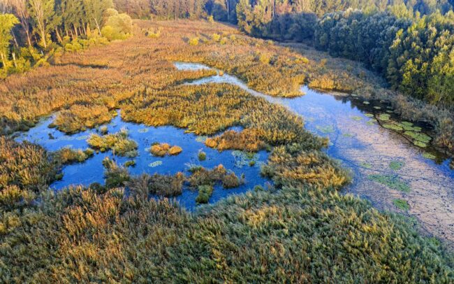
In early autumn, the floodplain is persistently rampant. The September dawn reveals a rare sight in one of the last marshes of the Slovak section of the Danube. A group of two hundred pygmy cormorants wakes up on its nightly resting place. Danube Floodplains Protected Landscape Area, Great Rye Island, Slovakia

The Danube between Serbia and Romania. Here, on the Serbian side, the Djerdap National Park stretches along its coast, and opposite the Romanian Iron Gate Natural Park. This is a true wildlife paradise. Wolf, lynx, bear and even chamois live in the surrounding forests and rocks. Instead (not that I had any other choice), I photographed the magical forest and ferns of the national park.
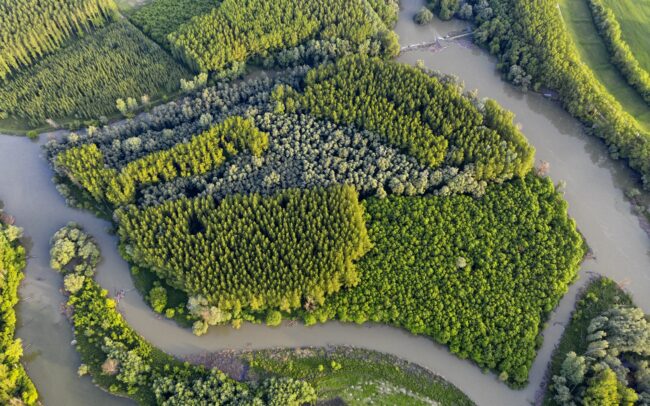
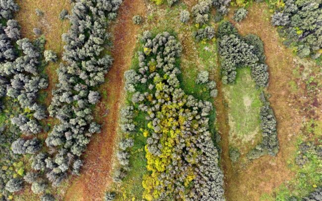
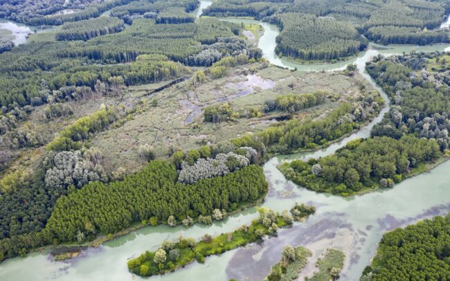
Szigetköz - the southern, Hungarian neighbour of Slovakian inland delta. The branch system on the other side of the Danube is a veritable multitude of islands. Although it forms an ecological system with our floodplain, the Hungarian side has recently taken much more forward-looking steps in terms of water management than the Slovak side. However, intensive forest management creates a spectacularly monotonous mosaic of trees here as well.
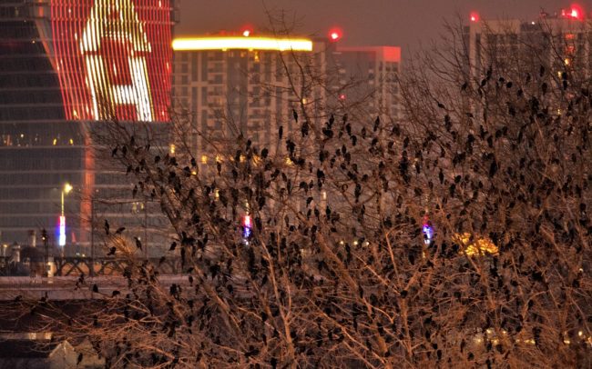
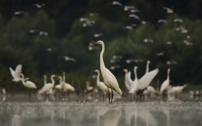
Belgrade showed that nature photography is no easier in a big city than in nature. In the capital of Serbia, specifically on the islands of its two rivers, the Sava and the Danube, 4-5 percent of the world population of pygmy cormorants spend the nights, roughly 5-6 thousand individuals. You can see a few hundred of them on the photos, it was because of them that I travelled here to document their situation for DiverseDanube Completely unknown and unusual conditions, heavy traffic, long distance, cold wind, little light around sunset... everything was added to the rather weak photos. But maybe they still have something to say. The fate of the largest urban pygmy cormorant population in the world is uncertain, mainly due to the construction of waterfronts and the liquidation of the last willow grove.
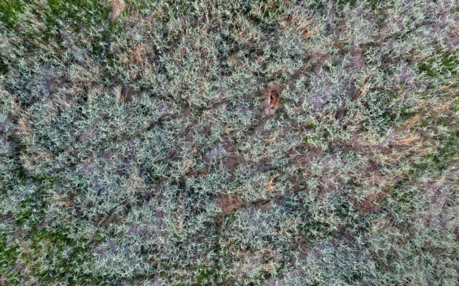
A young stag at his morning toilet in his reed bed. Towards the end of spring, well-trodden paths and rest "cabins" are clearly visible in the young reeds, which indicate that these places are very popular among the inhabitants of the forest. Danube Floodplains Protected Landscape Area, Great Rye Island, Slovakia.
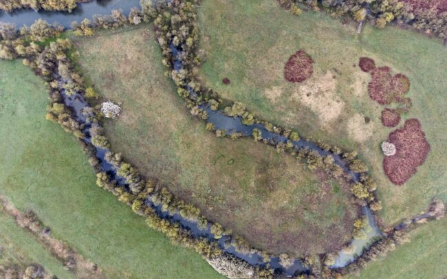
The Sajó is one of the important rivers of the Danube watershed. Photos shows its naturally or artificially cut bends near Kazincbarcika in Hungary. Although there were attempts to control the river in the past, a significant part of it remained only a plan. Even if regulatory constructions were built, some of them were destroyed by the river. Thanks to this, river is only partially regulated, and in many places it can still build its bends in its own way to this day, preserving its wild nature. However, even Sajó could not avoid a large amount of pollution. It was once damaged by paper factories in Slovakia, and by heavy industry in Hungary. But the quality of its water - apart from the disaster that happened in 2022 at Nižná Slaná - has improved a lot in recent decades. It flows for 223 km through Slovakia and Hungary, then meets the Tisza river near Tiszaújváros.
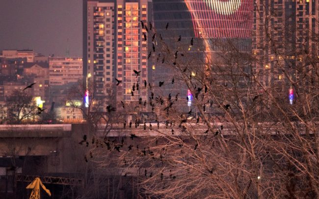
Belgrade showed that nature photography is no easier in a big city than in nature. In the capital of Serbia, specifically on the islands of its two rivers, the Sava and the Danube, 4-5 percent of the world population of pygmy cormorants spend the nights, roughly 5-6 thousand individuals. You can see a few hundred of them on the photos, it was because of them that I travelled here to document their situation for DiverseDanube Completely unknown and unusual conditions, heavy traffic, long distance, cold wind, little light around sunset... everything was added to the rather weak photos. But maybe they still have something to say. The fate of the largest urban pygmy cormorant population in the world is uncertain, mainly due to the construction of waterfronts and the liquidation of the last willow grove.
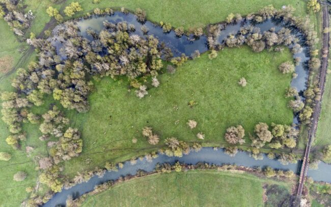
The Sajó is one of the important rivers of the Danube watershed. Photos shows its naturally or artificially cut bends near Kazincbarcika in Hungary. Although there were attempts to control the river in the past, a significant part of it remained only a plan. Even if regulatory constructions were built, some of them were destroyed by the river. Thanks to this, river is only partially regulated, and in many places it can still build its bends in its own way to this day, preserving its wild nature. However, even Sajó could not avoid a large amount of pollution. It was once damaged by paper factories in Slovakia, and by heavy industry in Hungary. But the quality of its water - apart from the disaster that happened in 2022 at Nižná Slaná - has improved a lot in recent decades. It flows for 223 km through Slovakia and Hungary, then meets the Tisza river near Tiszaújváros.
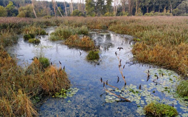
In early autumn, the floodplain is persistently rampant. The September dawn reveals a rare sight in one of the last marshes of the Slovak section of the Danube. A group of two hundred pygmy cormorants wakes up on its nightly resting place. Danube Floodplains Protected Landscape Area, Great Rye Island, Slovakia
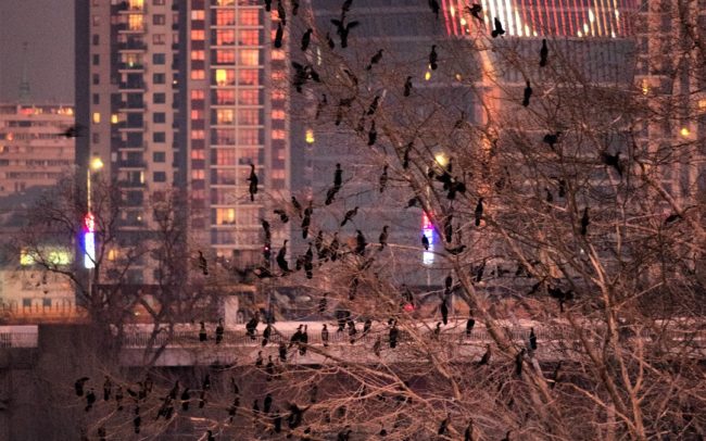
Belgrade showed that nature photography is no easier in a big city than in nature. In the capital of Serbia, specifically on the islands of its two rivers, the Sava and the Danube, 4-5 percent of the world population of pygmy cormorants spend the nights, roughly 5-6 thousand individuals. You can see a few hundred of them on the photos, it was because of them that I travelled here to document their situation for DiverseDanube Completely unknown and unusual conditions, heavy traffic, long distance, cold wind, little light around sunset... everything was added to the rather weak photos. But maybe they still have something to say. The fate of the largest urban pygmy cormorant population in the world is uncertain, mainly due to the construction of waterfronts and the liquidation of the last willow grove.
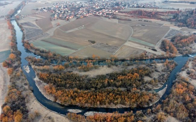
The protection of man and nature works at the same time, if there is a will! Here is the example! Germany's Blochinger Sandwinkel Nature Reserve and its islands on the restored upper Danube. The Danube once meandered strongly here as well. In the 19th century, the bends were straightened for the sake of the railway line being built here, as well as for greater control over the river. Then between 1991 and 1993, in the course of naturalization works based on old topographical maps, a bend was created here, around which pebble islands were formed due to the natural erosion and deposition, which are now overgrown with natural vegetation. The reserve was established in 1996 and covers 22 hectares. Thanks to its dynamics, the Danube has built a dynamic, characteristic water landscape, where the subsequent succession has created various habitats. Today, it is home to 65 species of birds, 33 of which are endangered and listed on the Red List. This measure was a project of the Integrated Danube Program. Their objective was twofold: to preserve the habitats of the Danube and to protect the surrounding settlements from flooding.
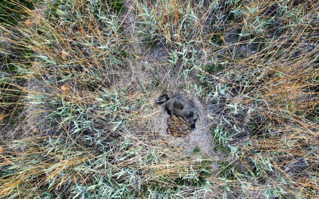
Sleeping wild boars are one of the cutest scenes in nature. Wild boars are generally social creatures, quite burdened by close contact with their own kind, but due to the cooler April-May mornings, it is also useful for the young to warm each other in such piles. Danube Floodplains Protected Landscape Area, Great Rye Island, Slovakia.
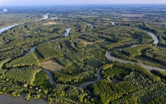
Szigetköz - the southern, Hungarian neighbour of Slovakian inland delta. The branch system on the other side of the Danube is a veritable multitude of islands. Although it forms an ecological system with our floodplain, the Hungarian side has recently taken much more forward-looking steps in terms of water management than the Slovak side. However, intensive forest management creates a spectacularly monotonous mosaic of trees here as well.
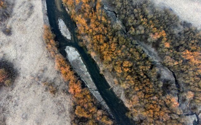
The protection of man and nature works at the same time, if there is a will! Here is the example! Germany's Blochinger Sandwinkel Nature Reserve and its islands on the restored upper Danube. The Danube once meandered strongly here as well. In the 19th century, the bends were straightened for the sake of the railway line being built here, as well as for greater control over the river. Then between 1991 and 1993, in the course of naturalization works based on old topographical maps, a bend was created here, around which pebble islands were formed due to the natural erosion and deposition, which are now overgrown with natural vegetation. The reserve was established in 1996 and covers 22 hectares. Thanks to its dynamics, the Danube has built a dynamic, characteristic water landscape, where the subsequent succession has created various habitats. Today, it is home to 65 species of birds, 33 of which are endangered and listed on the Red List. This measure was a project of the Integrated Danube Program. Their objective was twofold: to preserve the habitats of the Danube and to protect the surrounding settlements from flooding.
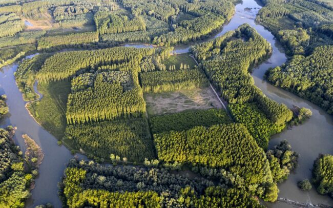
Szigetköz - the southern, Hungarian neighbour of Slovakian inland delta. The branch system on the other side of the Danube is a veritable multitude of islands. Although it forms an ecological system with our floodplain, the Hungarian side has recently taken much more forward-looking steps in terms of water management than the Slovak side. However, intensive forest management creates a spectacularly monotonous mosaic of trees here as well.
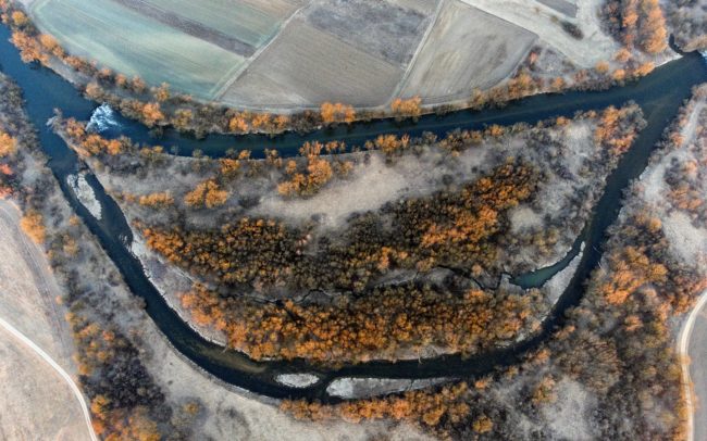
The protection of man and nature works at the same time, if there is a will! Here is the example! Germany's Blochinger Sandwinkel Nature Reserve and its islands on the restored upper Danube. The Danube once meandered strongly here as well. In the 19th century, the bends were straightened for the sake of the railway line being built here, as well as for greater control over the river. Then between 1991 and 1993, in the course of naturalization works based on old topographical maps, a bend was created here, around which pebble islands were formed due to the natural erosion and deposition, which are now overgrown with natural vegetation. The reserve was established in 1996 and covers 22 hectares. Thanks to its dynamics, the Danube has built a dynamic, characteristic water landscape, where the subsequent succession has created various habitats. Today, it is home to 65 species of birds, 33 of which are endangered and listed on the Red List. This measure was a project of the Integrated Danube Program. Their objective was twofold: to preserve the habitats of the Danube and to protect the surrounding settlements from flooding.
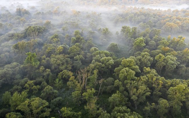
Alluvial forest. It was born and fed by the river. Thanks to this, it is characterized by a number of biotopes and dynamics. And by amazing biodiversity. It is not for nothing that it is considered a tropical forest. Only the last remnants of its former area have been preserved here. Danube Floodplains Protected Landscape Area, Great Rye Island, Slovakia.
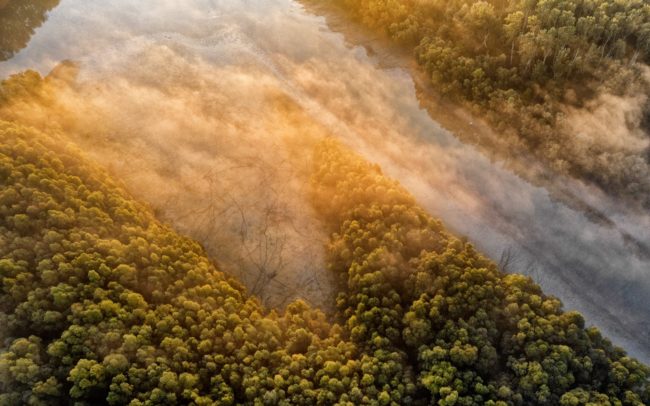
October over the wilderness I can just hardly describe the mystical atmosphere of the untouched parts of the alluvial area at dawn. However, I enjoy the time spent there even more. I like to get lost in the forests of the Danube, or get a wider view of these places from above. Danube Floodplains Protected Landscape Area, Great Rye Island, Slovakia.
The protection of man and nature works at the same time, if there is a will! Here is the example! Germany's Blochinger Sandwinkel Nature Reserve and its islands on the restored upper Danube. The Danube once meandered strongly here as well. In the 19th century, the bends were straightened for the sake of the railway line being built here, as well as for greater control over the river. Then between 1991 and 1993, in the course of naturalization works based on old topographical maps, a bend was created here, around which pebble islands were formed due to the natural erosion and deposition, which are now overgrown with natural vegetation. The reserve was established in 1996 and covers 22 hectares. Thanks to its dynamics, the Danube has built a dynamic, characteristic water landscape, where the subsequent succession has created various habitats. Today, it is home to 65 species of birds, 33 of which are endangered and listed on the Red List. This measure was a project of the Integrated Danube Program. Their objective was twofold: to preserve the habitats of the Danube and to protect the surrounding settlements from flooding.
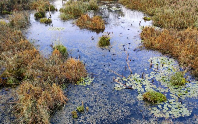
In early autumn, the floodplain is persistently rampant. The September dawn reveals a rare sight in one of the last marshes of the Slovak section of the Danube. A group of two hundred pygmy cormorants wakes up on its nightly resting place. Danube Floodplains Protected Landscape Area, Great Rye Island, Slovakia
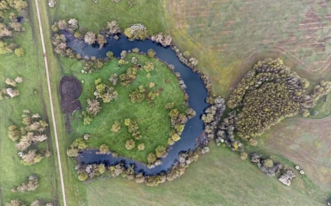
The Sajó is one of the important rivers of the Danube watershed. Photos shows its naturally or artificially cut bends near Kazincbarcika in Hungary. Although there were attempts to control the river in the past, a significant part of it remained only a plan. Even if regulatory constructions were built, some of them were destroyed by the river. Thanks to this, river is only partially regulated, and in many places it can still build its bends in its own way to this day, preserving its wild nature. However, even Sajó could not avoid a large amount of pollution. It was once damaged by paper factories in Slovakia, and by heavy industry in Hungary. But the quality of its water - apart from the disaster that happened in 2022 at Nižná Slaná - has improved a lot in recent decades. It flows for 223 km through Slovakia and Hungary, then meets the Tisza river near Tiszaújváros.
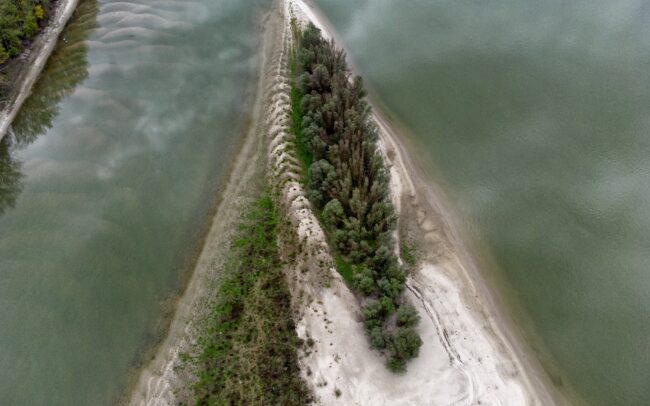
An island in the Danube, on the border between Serbia and Croatia. It was given the number HR023 by Danubeparks - Network of Protected Areas. And although the reef is only a tiny bit of dry land, it is valuable for waterfowl. Not that the concept of countries or numbers has any significance to them. But the sandbed protected by water provides them a peaceful nesting place. Due to regulations, rivers are able to build fewer and fewer islands, so such reefs are increasingly in short supply.
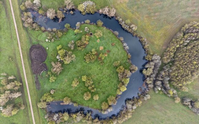
The Sajó is one of the important rivers of the Danube watershed. Photos shows its naturally or artificially cut bends near Kazincbarcika in Hungary. Although there were attempts to control the river in the past, a significant part of it remained only a plan. Even if regulatory constructions were built, some of them were destroyed by the river. Thanks to this, river is only partially regulated, and in many places it can still build its bends in its own way to this day, preserving its wild nature. However, even Sajó could not avoid a large amount of pollution. It was once damaged by paper factories in Slovakia, and by heavy industry in Hungary. But the quality of its water - apart from the disaster that happened in 2022 at Nižná Slaná - has improved a lot in recent decades. It flows for 223 km through Slovakia and Hungary, then meets the Tisza river near Tiszaújváros.
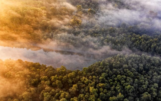
October over the wilderness I can just hardly describe the mystical atmosphere of the untouched parts of the alluvial area at dawn. However, I enjoy the time spent there even more. I like to get lost in the forests of the Danube, or get a wider view of these places from above. Danube Floodplains Protected Landscape Area, Great Rye Island, Slovakia.
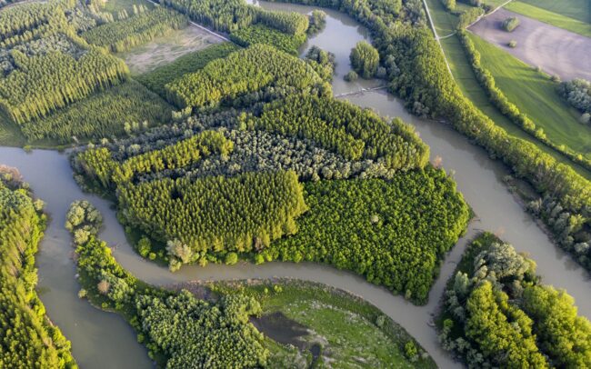
Szigetköz - the southern, Hungarian neighbour of Slovakian inland delta. The branch system on the other side of the Danube is a veritable multitude of islands. Although it forms an ecological system with our floodplain, the Hungarian side has recently taken much more forward-looking steps in terms of water management than the Slovak side. However, intensive forest management creates a spectacularly monotonous mosaic of trees here as well.
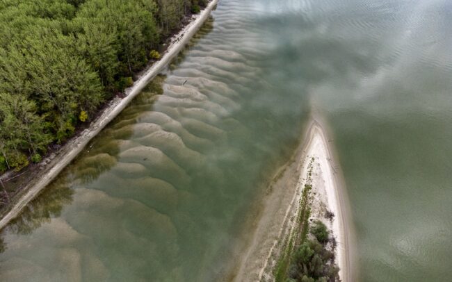
An island in the Danube, on the border between Serbia and Croatia. It was given the number HR023 by Danubeparks - Network of Protected Areas. And although the reef is only a tiny bit of dry land, it is valuable for waterfowl. Not that the concept of countries or numbers has any significance to them. But the sandbed protected by water provides them a peaceful nesting place. Due to regulations, rivers are able to build fewer and fewer islands, so such reefs are increasingly in short supply.
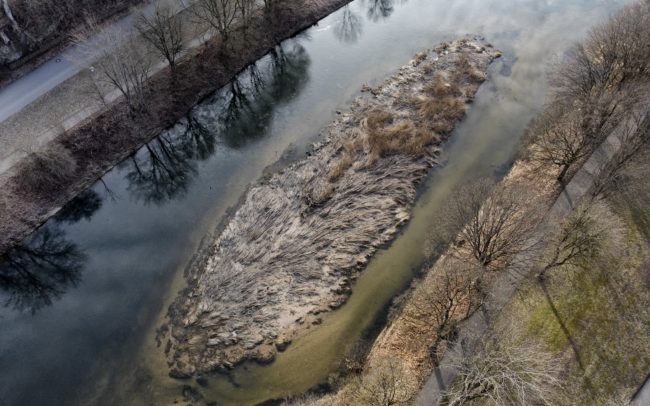
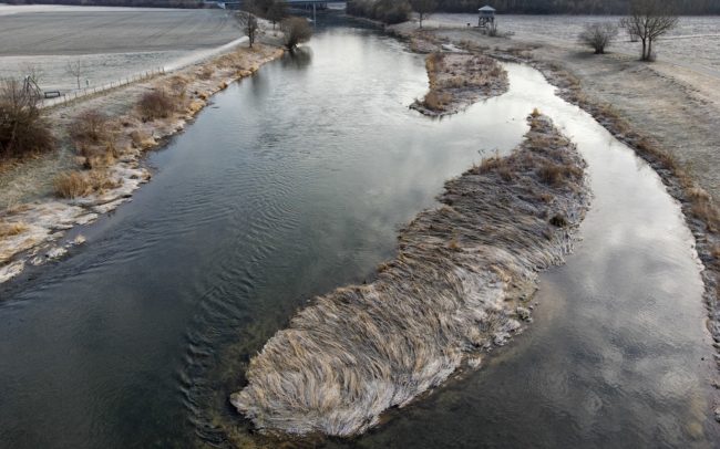
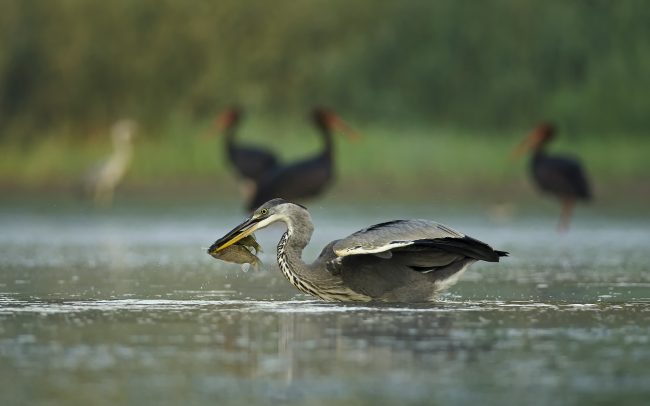
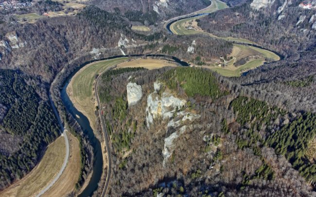
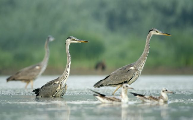
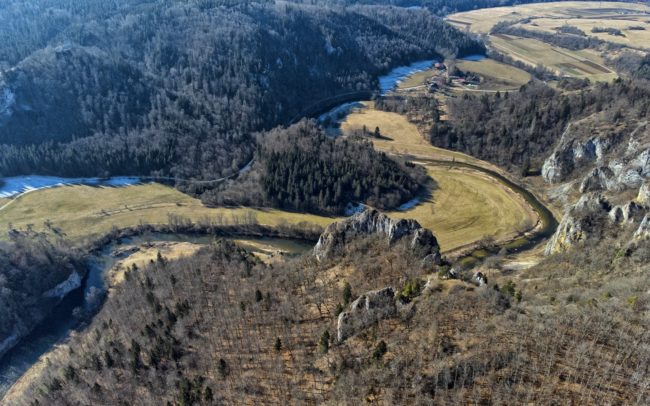
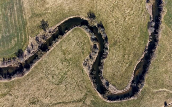
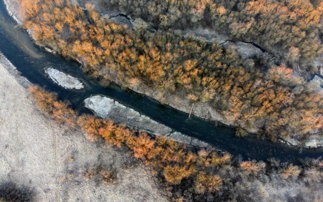
The town of Sigmaringen in Germany is mainly known for its excellently preserved castle. Here, in its upper course, the Danube meanders like a narrow stream around the city. There are two islands here on the river, DE0129 and DE005, taken into account by Danubeparks Network of Protected Areas. They are only a few square meters in size, but the measures taken to preserve them in recent years show how important such foot-sized places are for the aquatic world, such as waterfowl. The islands are home to coots and swans.
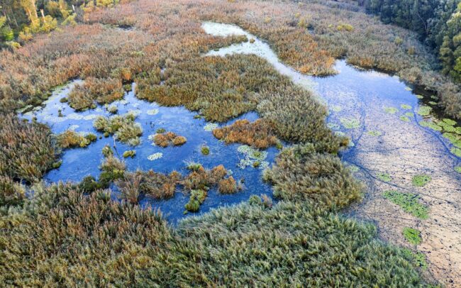
In early autumn, the floodplain is persistently rampant. The September dawn reveals a rare sight in one of the last marshes of the Slovak section of the Danube. A group of two hundred pygmy cormorants wakes up on its nightly resting place. Danube Floodplains Protected Landscape Area, Great Rye Island, Slovakia
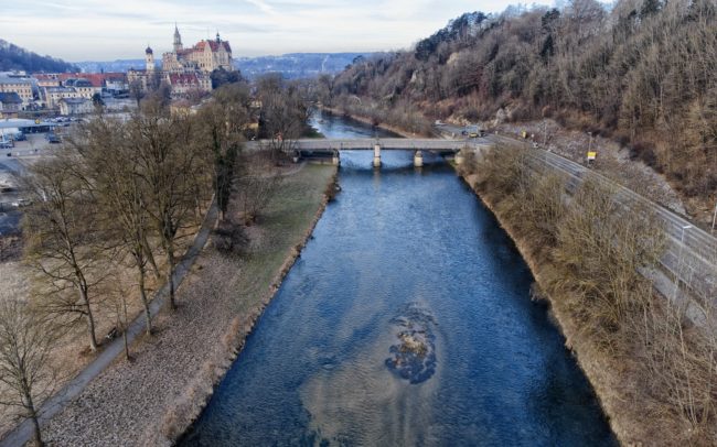
The town of Sigmaringen in Germany is mainly known for its excellently preserved castle. Here, in its upper course, the Danube meanders like a narrow stream around the city. There are two islands here on the river, DE0129 and DE005, taken into account by Danubeparks Network of Protected Areas. They are only a few square meters in size, but the measures taken to preserve them in recent years show how important such foot-sized places are for the aquatic world, such as waterfowl. The islands are home to coots and swans.
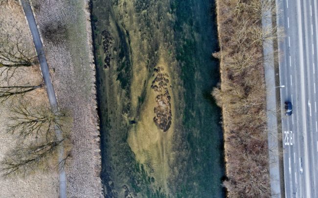
The town of Sigmaringen in Germany is mainly known for its excellently preserved castle. Here, in its upper course, the Danube meanders like a narrow stream around the city. There are two islands here on the river, DE0129 and DE005, taken into account by Danubeparks Network of Protected Areas. They are only a few square meters in size, but the measures taken to preserve them in recent years show how important such foot-sized places are for the aquatic world, such as waterfowl. The islands are home to coots and swans.
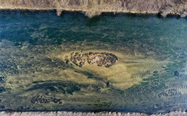
The town of Sigmaringen in Germany is mainly known for its excellently preserved castle. Here, in its upper course, the Danube meanders like a narrow stream around the city. There are two islands here on the river, DE0129 and DE005, taken into account by Danubeparks Network of Protected Areas. They are only a few square meters in size, but the measures taken to preserve them in recent years show how important such foot-sized places are for the aquatic world, such as waterfowl. The islands are home to coots and swans.
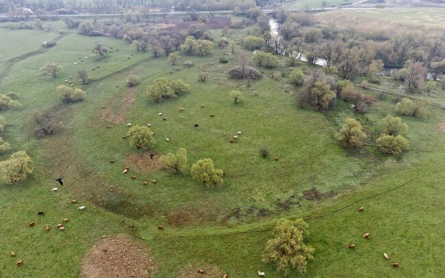
The Sajó is one of the important rivers of the Danube watershed. Photos shows its naturally or artificially cut bends near Kazincbarcika in Hungary. Although there were attempts to control the river in the past, a significant part of it remained only a plan. Even if regulatory constructions were built, some of them were destroyed by the river. Thanks to this, river is only partially regulated, and in many places it can still build its bends in its own way to this day, preserving its wild nature. However, even Sajó could not avoid a large amount of pollution. It was once damaged by paper factories in Slovakia, and by heavy industry in Hungary. But the quality of its water - apart from the disaster that happened in 2022 at Nižná Slaná - has improved a lot in recent decades. It flows for 223 km through Slovakia and Hungary, then meets the Tisza river near Tiszaújváros.
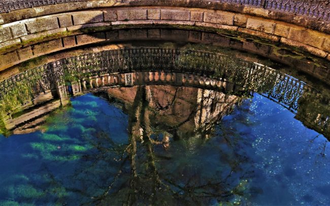
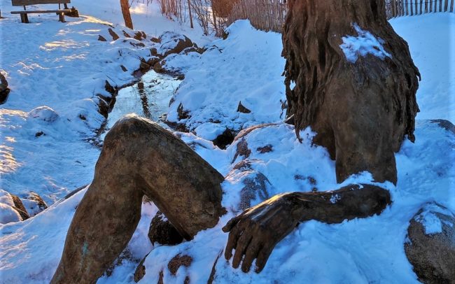
In the town of Donaueschingen, in the castle park of Fürstenberg, the "official" source of the Danube - around which a pool and a group of statues was built in the 19th century - is rather a mass tourist attraction, in a kind of "manorial", more easily accessible place. It is located 48.5 kilometers from the source of the Breg stream, i.e. the main source of the Danube, from the real "Donauquelle", which is in a much more remote place. Donaueschingen, Germany.


